Choose the mode, then the map methods
Map collection modes and methods: choose for the job
A mode sets the goal, query and geography. A method defines where that map yields candidates: a grid, rendered POIs, a result list, or listings inside buildings.


How the modes work
One tool — three levels of completeness
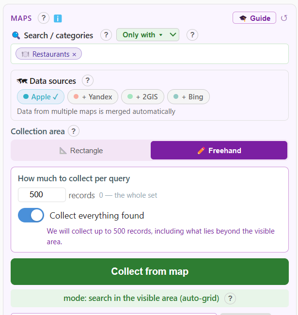
1. Visible-area search
The quick mode: type a query — the extension captures results in the visible map area, walking it automatically on a grid. Best when you need a snapshot right now.
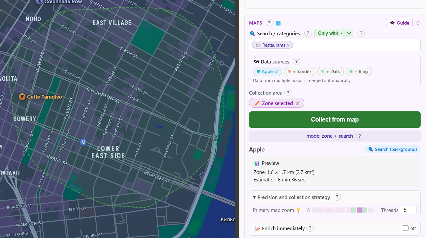
2. Zone + search
Draw a zone — a city, a district, any polygon — and set a query. Collection stays inside the boundary: no neighbouring towns in your sample and no manual map panning.
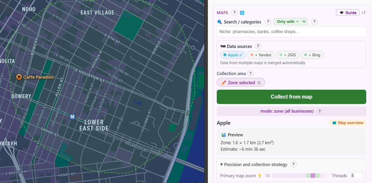
3. Zone: all organizations
The systematic mode: with no query, the extension sweeps the zone across several zoom levels and collects available listings, including places outside the chosen ranked result set.
Discovery methods vary by map
Selecting several methods covers more discovery paths, but takes longer and may overlap; results are deduplicated
| Method | Best for | Needs | Trade-off |
|---|---|---|---|
| Grid search | a category or query across an area | a query; area optional | fast relevant sample, influenced by ranking |
| Render capture | POIs already rendered by the map | a viewport or area | query-independent, sensitive to zoom |
| Result-list scan | walking a ranked search list | supported context and query | structured list with source-side limits |
| Building and tenant discovery | malls, business centres and compound places | a compatible building listing | finds tenants, adds a separate phase |
Google exposes four methods in its provider block. Apple Maps and Bing Maps offer “Map search”, “Visible points”, and “Organisations in buildings”. Yandex Maps and 2GIS use provider-specific automatic phases where supported; the site does not imply a shared three-checkbox UI.
Why a zone sweep provides a different kind of coverage
Map search shows a ranked subset — the zone mode does not depend on it
✗ Search-only collection
- Search returns a limited top of results
- Organizations outside the category get lost
- Completeness depends on query wording
- The map's "city" boundary is not your boundary
✓ CrawlRover zone mode
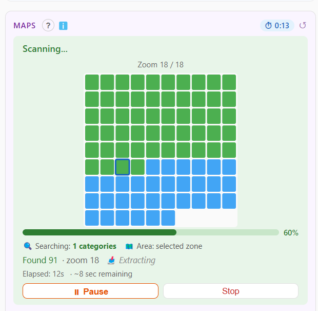
- Systematic grid sweep of the territory
- Systematic coverage of available listings in the zone
- Exact boundaries: you draw them yourself
- Progress and a live counter in the panel
Need the same intent across several sources at once? Continue to cross-map collection. For several queries on one setup, use the search queue.
Which mode for which job
A quick chooser
A niche in a city
zone + search: "coffee shops" within a district
A whole territory
zone sweep: every business in a block or city
A quick snapshot
visible-area search — minutes
Batch collection
any mode × the search queue
Choose the right mode and methods for your territory
All three modes are available on Free — paid tiers raise the volume quotas, not the mode set.